
Georeferencing Overview
The process of georeferencing (sometimes called georectification) is when we take a raster image (a continuous image such as a map or a photo) and we fit it into a geographic grid. The end result is a geotiff file.
Vectorization Overview
The process of vectorization is extracting elements (points, lines, polygons) from georeferenced maps that can be used as data layers in other contexts.
The Sources
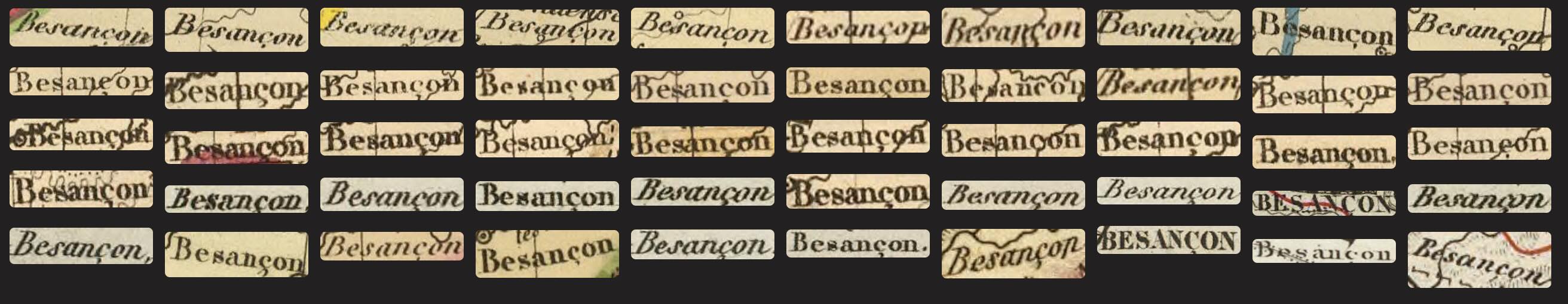
Here are some maps featured at the Bibliothèque d'étude et de conservation, some of which we saw during our visit: Les Formes d’une ville: Besançon cartographiée. I would suggest those from the 19th century
In QGIS:
- Open QGIS and add a contemporary basemap layer (OpenStreetMap).
- Use the Georeferencer tool to load your historical map image.
- Add control points by clicking corresponding locations on both the historical map and the reference map.
- Choose an appropriate transformation method.
- Save the georeferenced map as a GeoTIFF file.
- Load the resulting georeferenced map into your main QGIS project (it will autoload if checked).
In Allmaps (IIIF):
- Pick a digital map collection with IIIF manifests, such as the David Rumsey Map Collection. Find the manifest under the Share tab.
- Visit Allmaps and paste the IIIF manifest URL of your historical map.
- Use the annotation interface to place control points on recognizable features.
- Match these points with their corresponding locations on the contemporary map.
- Export the georeferenced map or use the generated tiles in your projects.
Things to Keep in Mind:
- Accuracy vs. Coverage: More control points generally improve accuracy but may not always be necessary. Sometimes too much distorts a “well-fitted” map.
- Transformation Methods: Different algorithms work better for different types of maps and distortions. Try Thin Plate Spline.
- Historical Context: Consider how the original map might have been created and what distortions might be inherent to its projection, surveying methods or artistic quality. Sometimes we will not find a perfect fit.
- Environmental Change: When choosing your control points, remember that natural features can and do change over time. Rivers change course and the anthropocene has altered natural landscapes.